Altitude Measurement Online
| نسخه | ۲۰۲۵۰۱۲۹ |
| آخرین بروزرسانی | ۱۴۰۳/۱۱/۱۱ |
| تعداد دانلود | کمتر از ۱۰۰ |
| حجم | ۵ مگابایت |
| نوع | برنامه اندرویدی |
| دستهبندی | ابزارهای کاربردی |
| سازنده | oxdb.net |
Altitude Measurement Online
آیا تابهحال برنامه Altitude Measurement Online را امتحان کردهاید؟ این برنامه با امکانات کاربردی و ویژگیهایی خاص، تجربهای متفاوت را برای شما رقم میزند.
دانلود برنامه Altitude Measurement Online
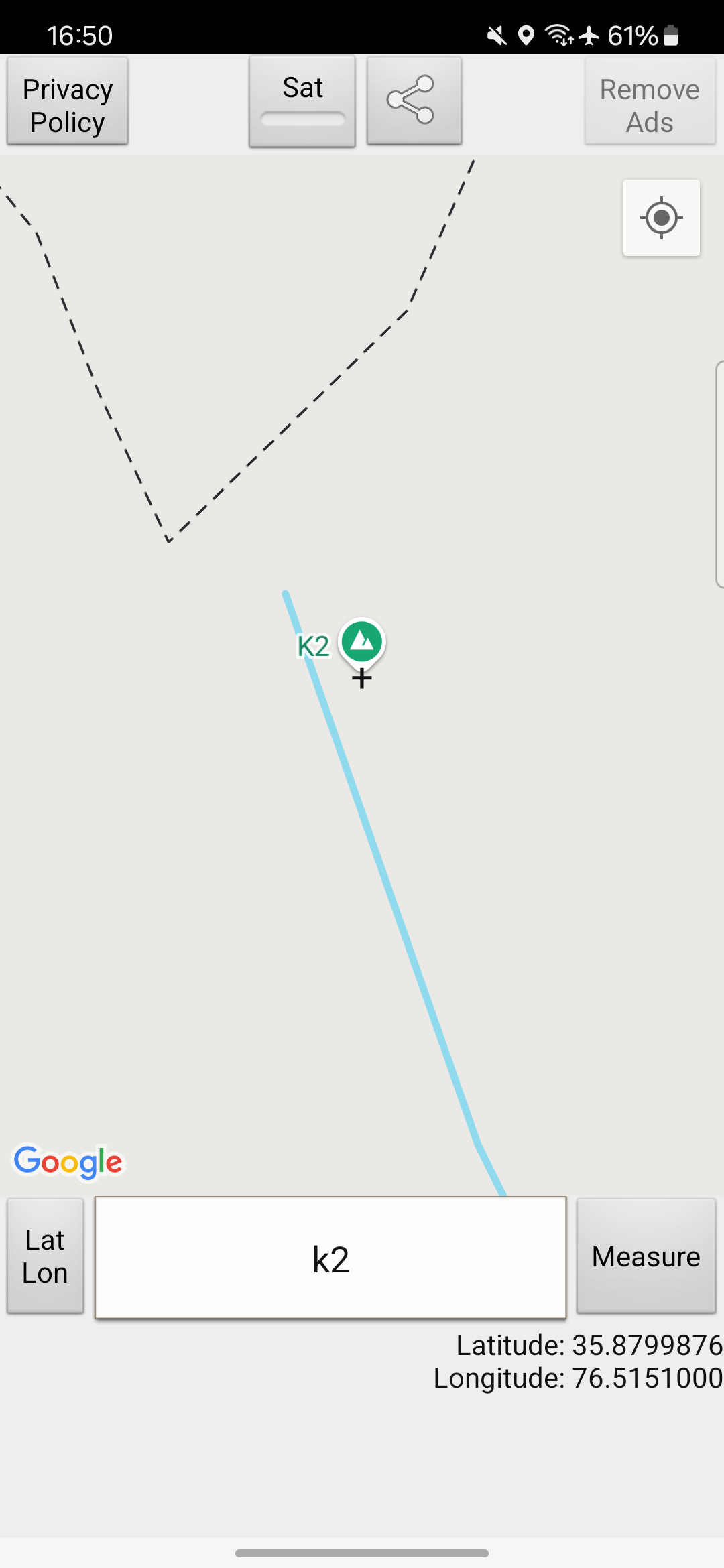
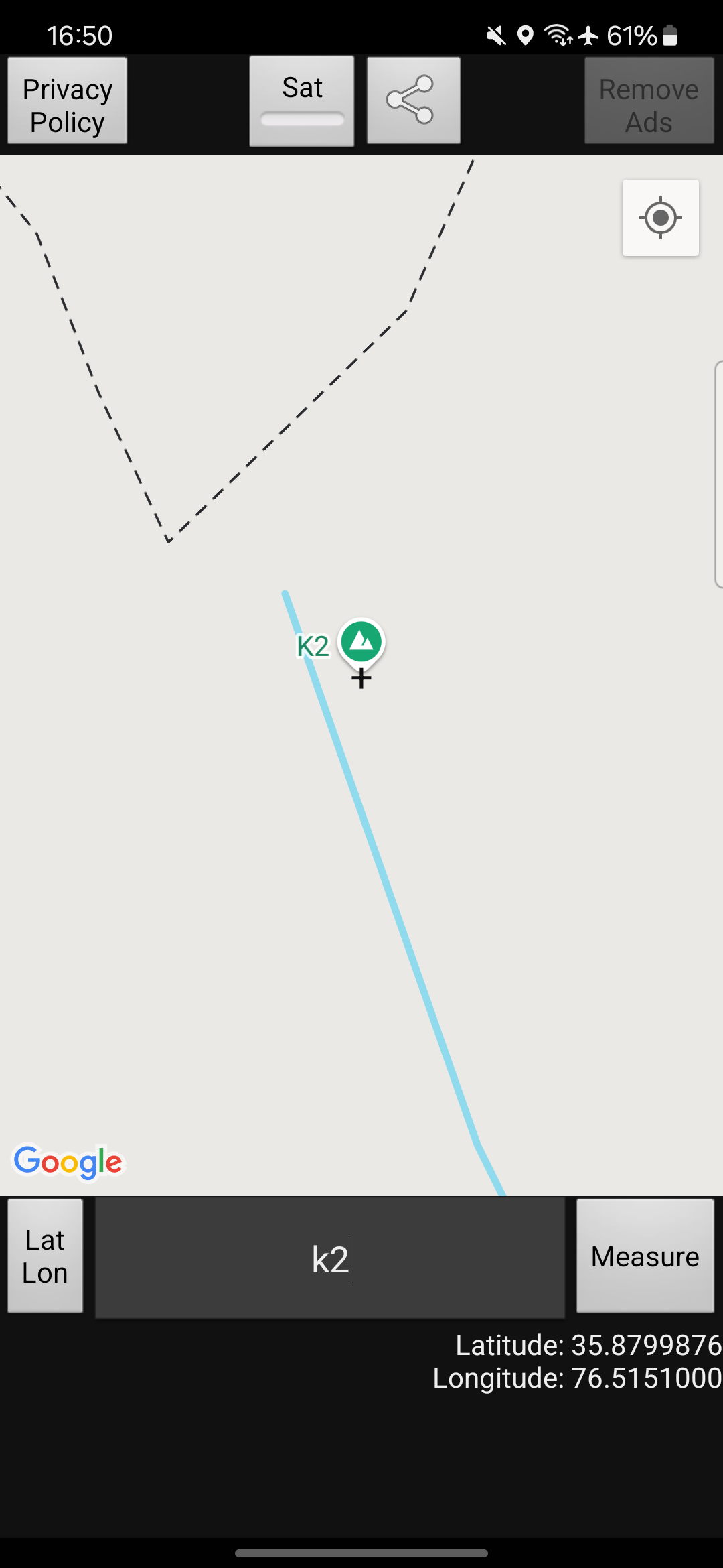
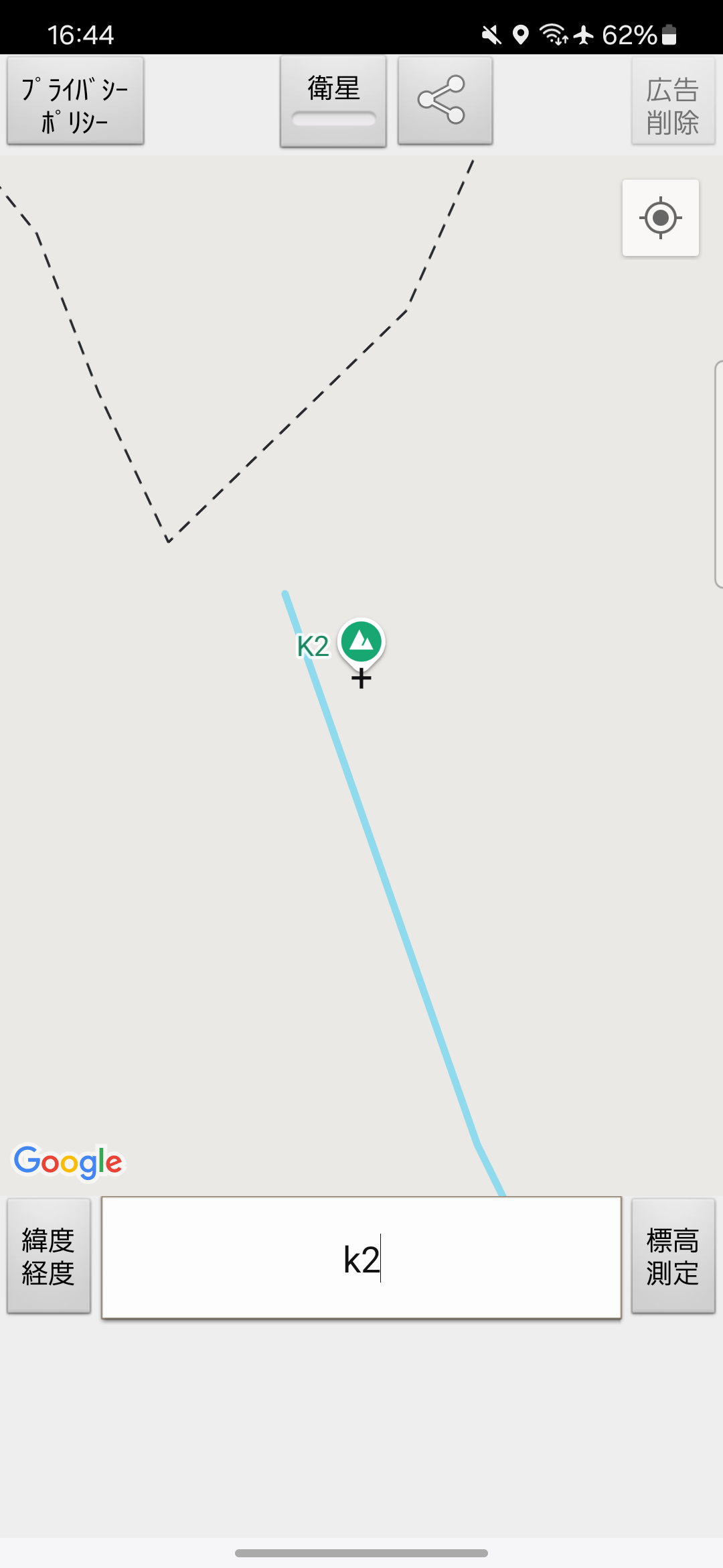
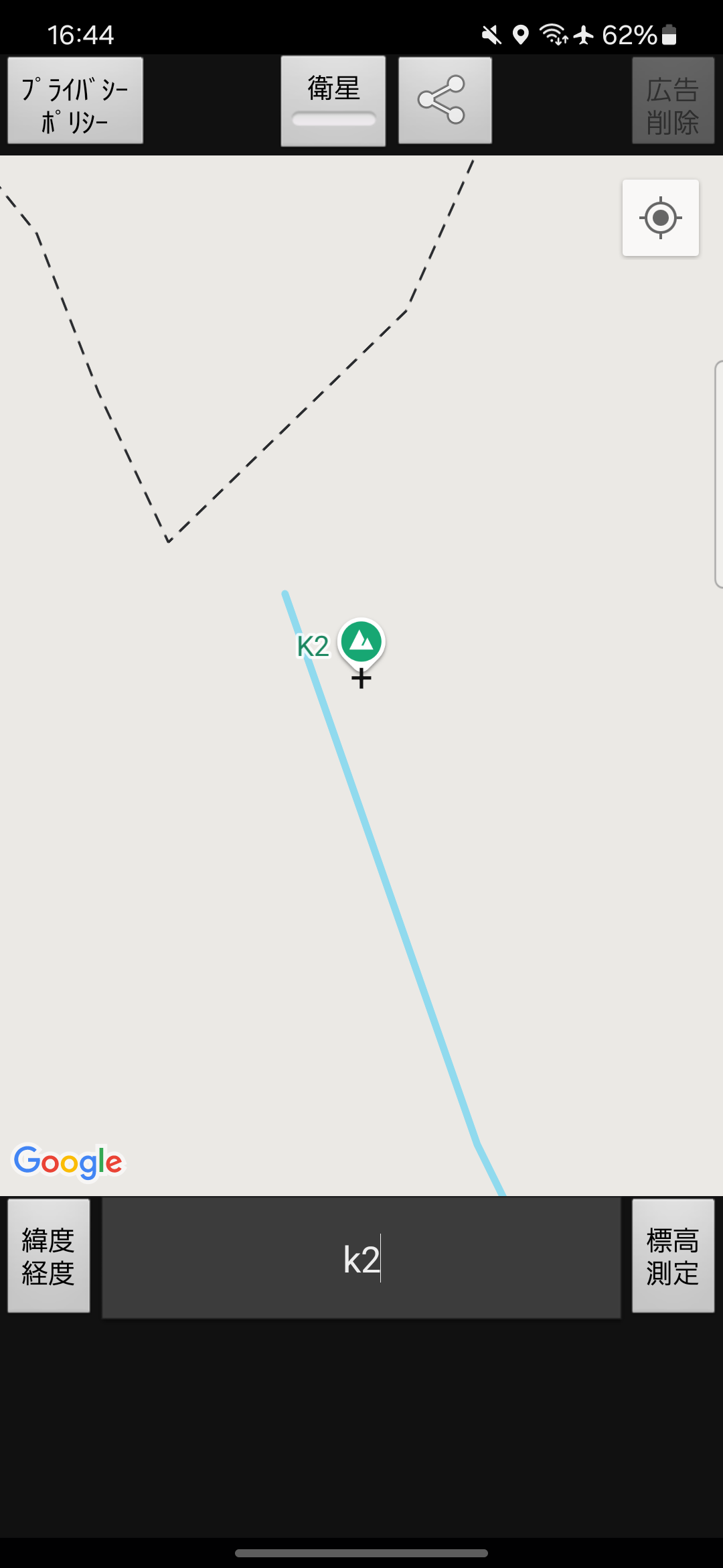
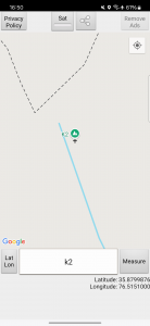
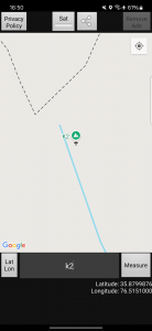
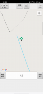
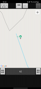
یک برنامه رایگان ارتفاع سنج ساده که ارتفاع (متر / فوت) یک نقطه جستجو شده با کلمه کلیدی یا مشخص شده روی نقشه را نشان می دهد. نمایش طول و عرض جغرافیایی نقشه ها و تصاویر ماهواره ای را می توان تغییر داد. تایید ارتفاع برای پیشگیری از بلایای سیل و پریشانی کوه نوردی. به دلیل اندازه گیری GPS خطایی وجود دارد.
برنامههای مرتبط